Providing precision agricultural spraying, aerial logistics and advanced imagery solutions across North Queensland
COMMERICAL UAV SOLUTIONS
MISSION STATEMENT
Pragdro Aerial Contractors are dedicated to delivering precise, performance driven and innovative UAV services, leveraging proprietary technology to support local industries throughout North Queensland.
We are committed to providing safe, efficient and reliable aerial services, producing measurable productivity gains through technology and expertise.
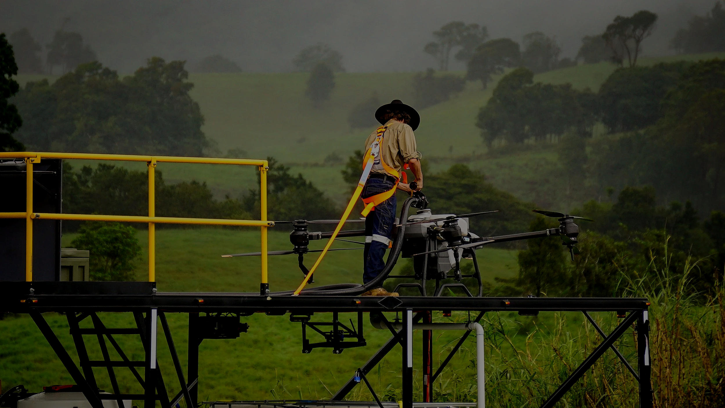
ACCURATE, EFFICIENT AERIAL SERVICES
CAPABILITIES
Pragdro is an aerial specialist provider for advanced UAV operations delivering aerial application solutions, logistical support, infrastructure and asset inspections, and high-resolution multispectral mapping services. Through technological integration and mission planning, we achieve measurable improvements in efficiency, cost control, and decision making for industries throughout the region. Through our commitment to safety, reliability, and professionalism, we deliver aerial services that align with the standards of critical operators.
INDUSTRIES
Our UAV services are tailored to meet the needs of multiple industries, from agriculture and energy to government, construction, and environmental operations.
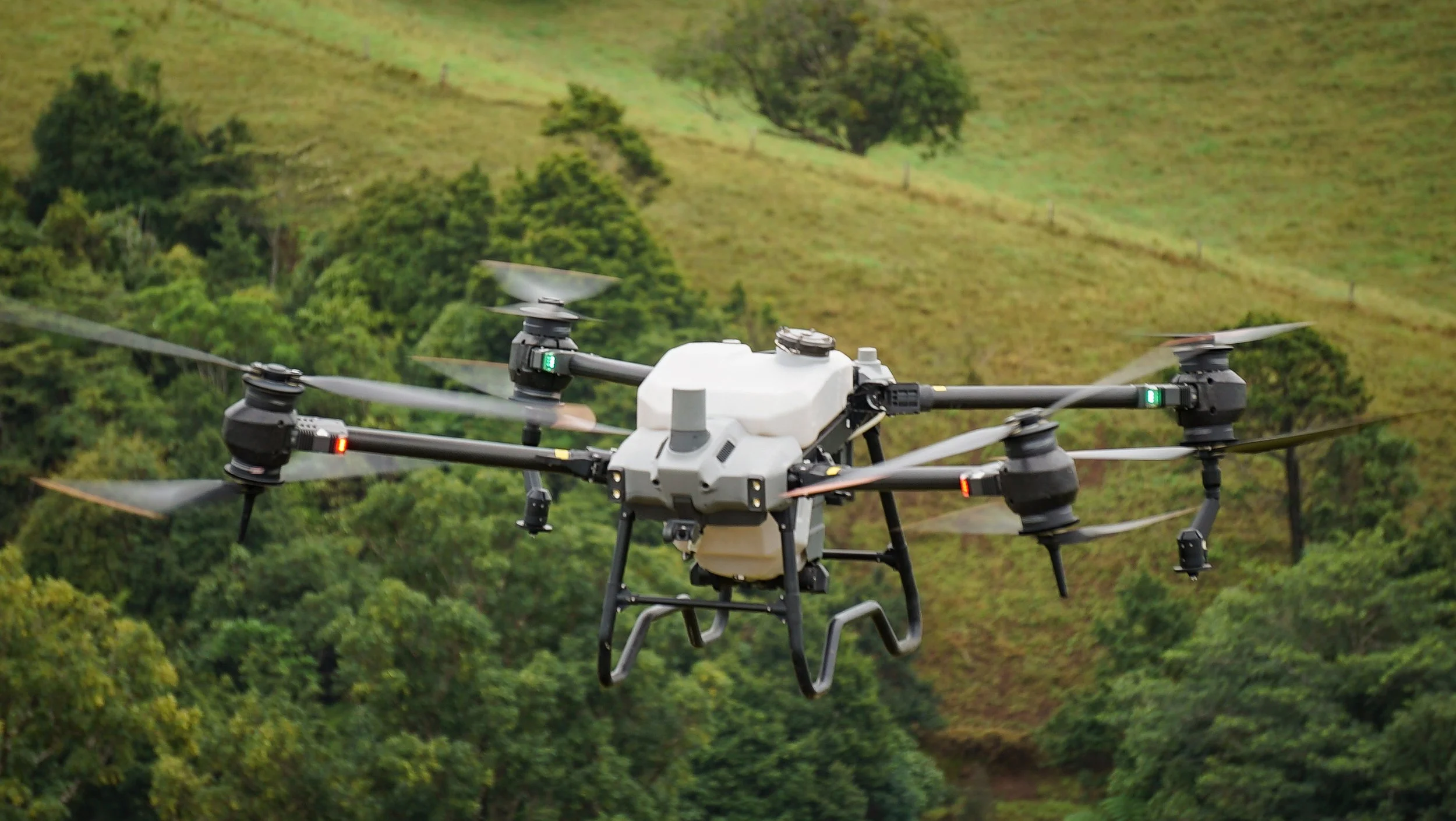
Agriculture
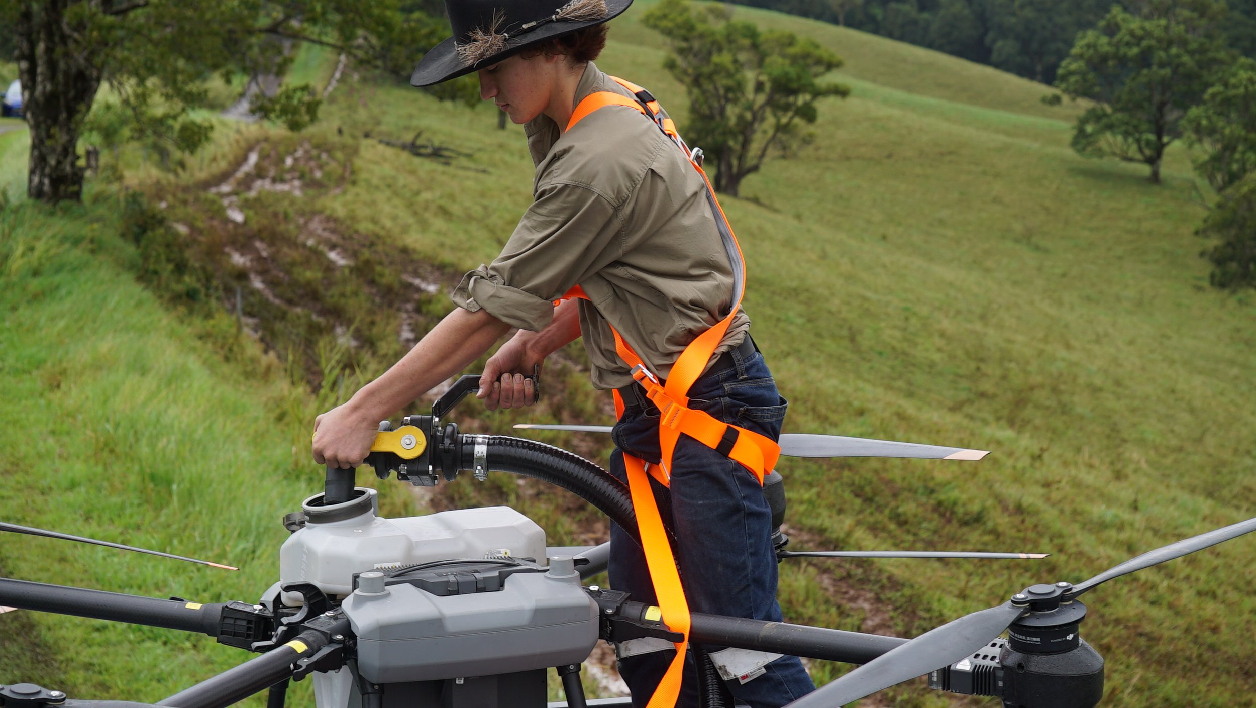
We support agricultural operations with precision aerial services that reduce soil compaction, improve efficiency, and enable field access in complex or wet terrain. Our aerial solutions are designed for scale, from everyday farming operations to large complex enterprises, supporting both liquid and granule distribution.
Construction
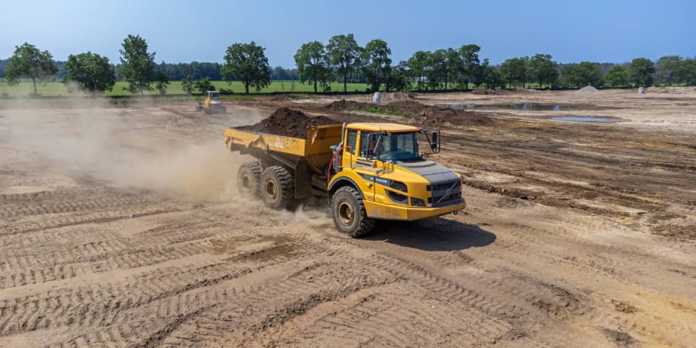
Aerial support for construction and civil projects assisting teams capture data for estimations, surveying, and progress monitoring providing stakeholders with a clear overview of the project status.
Government
We provide government agencies and local councils with reliable aerial support to complete a variety of tasks ranging from parks and wildlife monitoring to asset inspections, and support within remote areas.
Energy Sector
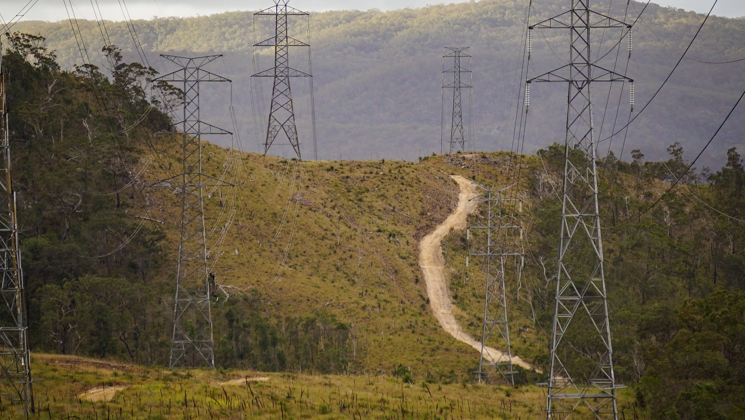
Supporting energy and utility operators with practical aerial services for inspection and monitoring, vegetation encroachment management, and initial pilot-line placement across inaccessible areas. Our services reduce reliance on helicopters, improve workforce safety, and provide consistent, auditable data to support network reliability and regulatory compliance across regional and remote Queensland.
SERVING OUR COMMUNITY FROM ABOVE
CURRENT SERVICE AREA
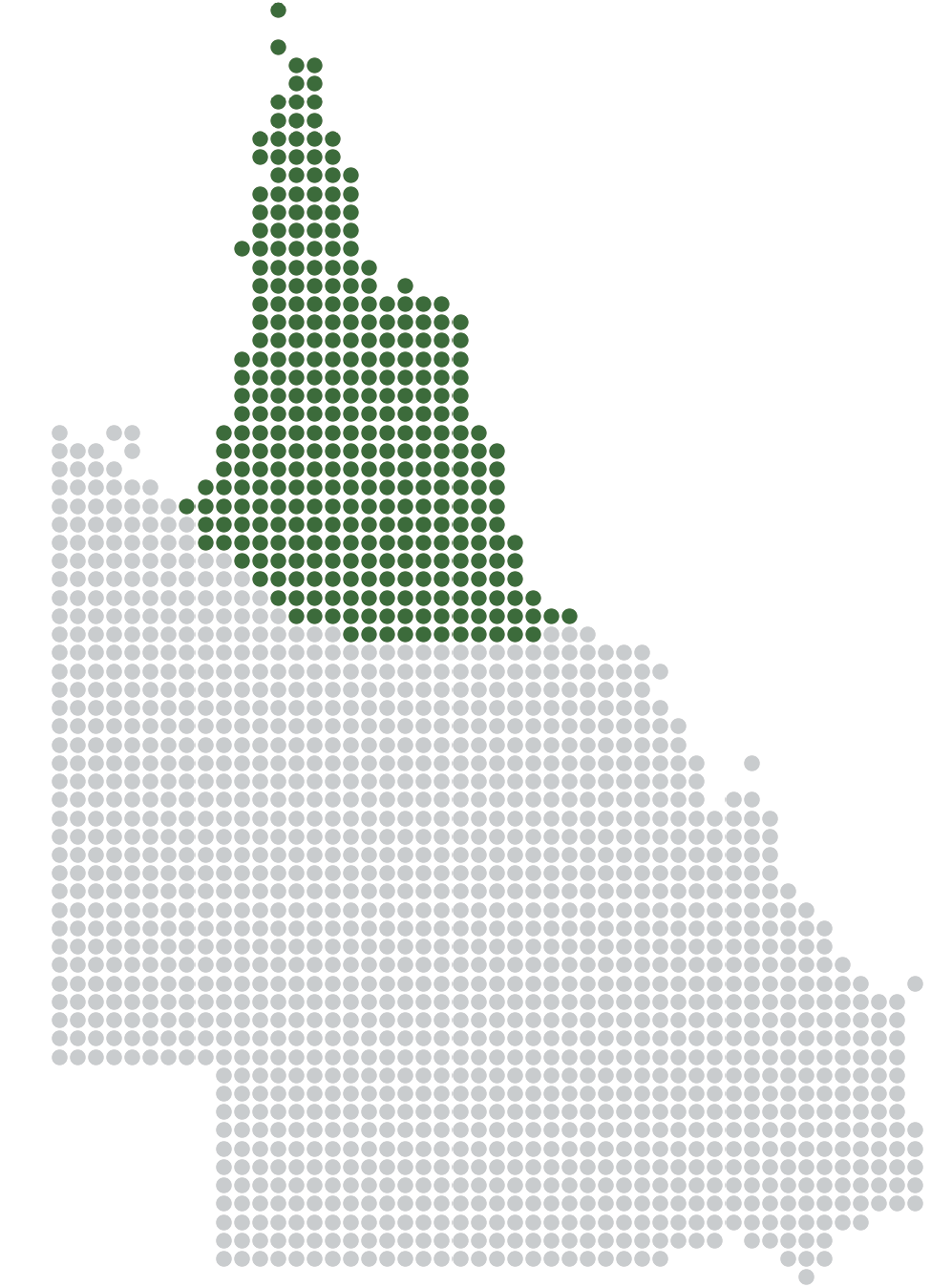
We deliver UAV services across North and Far North Queensland, operating within an approximate region extending from Townsville in the south, north through Cape York to the Tip of the Cape, and west across the Gulf Country.
This operating area is indicative, with services outside these boundaries considered by arrangement.