
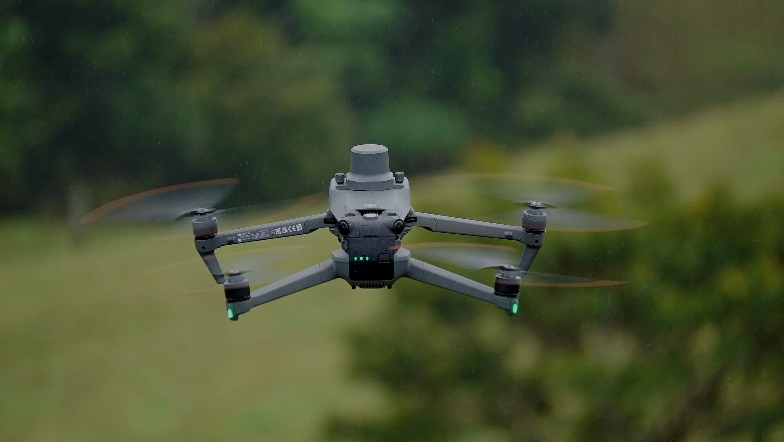
Aerial Survey Pricing
Surveying solutions vary depending on factors such as total area, terrain complexity, required accuracy, sensor type, and the level of post-processing and analysis needed. This approach ensures each project is appropriately scoped and delivers reliable, actionable data aligned with its intended use.
Multispectral Survey Pricing
Multispectral survey services are priced individually due to varying accuracy requirements, site conditions, and deliverables. Pricing is confirmed following a brief scope review and issued as a fixed project quote prior to commencement. Unsure if this service suits your needs, book a free in person demo today.
The following operational factors influence pricing:
Total area and site layout
Survey area topography and obstacle density
Required resolution and accuracy
Required data / data processing
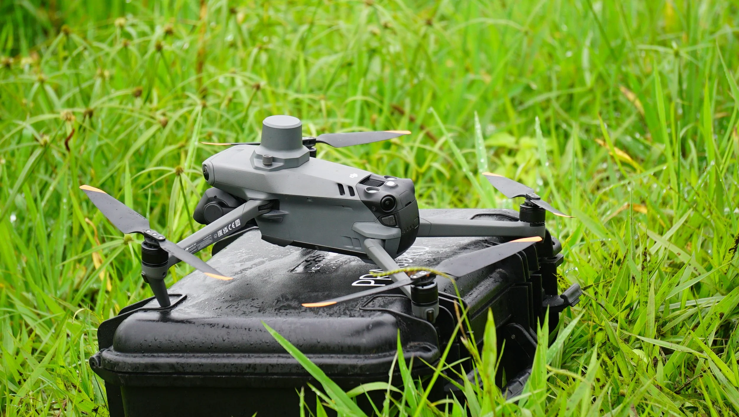
Information we need from you:
To ensure each multispectral survey is accurately planned, regulatory compliant, and delivers reliable agronomic data The following paddock or field information is required prior to the commencement of any multispectral data capture operations:
Total Survey Area (Hectares)
Surrounding Terrain and Known Obstacles (Trees, powerlines, structures, slopes)
Survey Area Location
Terrain Characteristics (Flat terrain, steep rugged terrain, etc.)
Crop or Vegetation Details
Crop type / Pasture Type / Vegetation Type
Seeding Date (if applicable)
Growth Stage
Required Deliverables
Data Type (RGB or Multispectral)
Data Report Demands (Plant Vigor, Stand Count, Lodging Detection, Weed Detection, Plant Stress, etc.)
Integration of data into tractors and other smart farming equipment
Timing Requirements
Supplying this information in advance enables us to evaluate site suitability, mitigate risks, ensure regulatory compliance, and deliver accurate, consistent results efficiently.
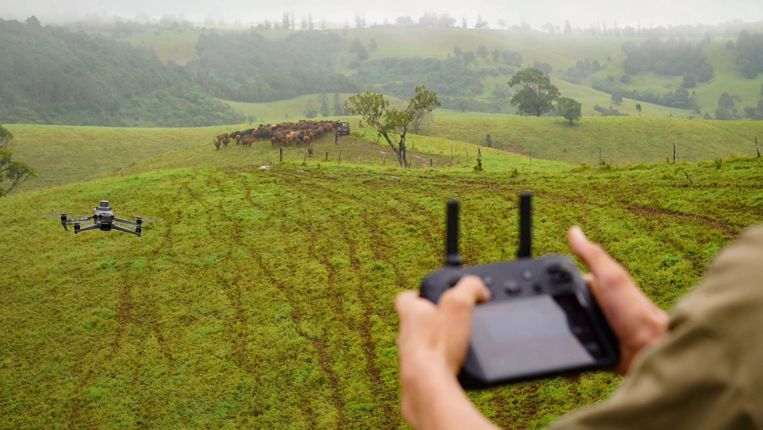

Request a tailored, obligation-free multispectral survey quote today for accurate pricing based on your field characteristics and data requirements
Free Multispectral Survey Demonstrations:
We offer a no-obligation demonstration of our multispectral mapping service. This is your chance to see firsthand how detailed aerial insights can improve crop health, optimise inputs, and increase efficiency.
Book Your Free Demo Today
Infrastructure and Asset Inspections
Infrastructure and asset inspection services are priced on a project-by-project basis due to varying asset types, site conditions, inspection requirements, and reporting deliverables. Final pricing is confirmed following a brief scope assessment and provided as a fixed project quote prior to commencement.
The following operational factors influence pricing:
Asset Type (Structures, roofs, pipelines, bridges, etc.)
Inspection Objectives
Site Access and Location
Required Resolution and Accuracy
Volume of Assets - Repeat Inspections