SERVICES
Multispectral Solutions
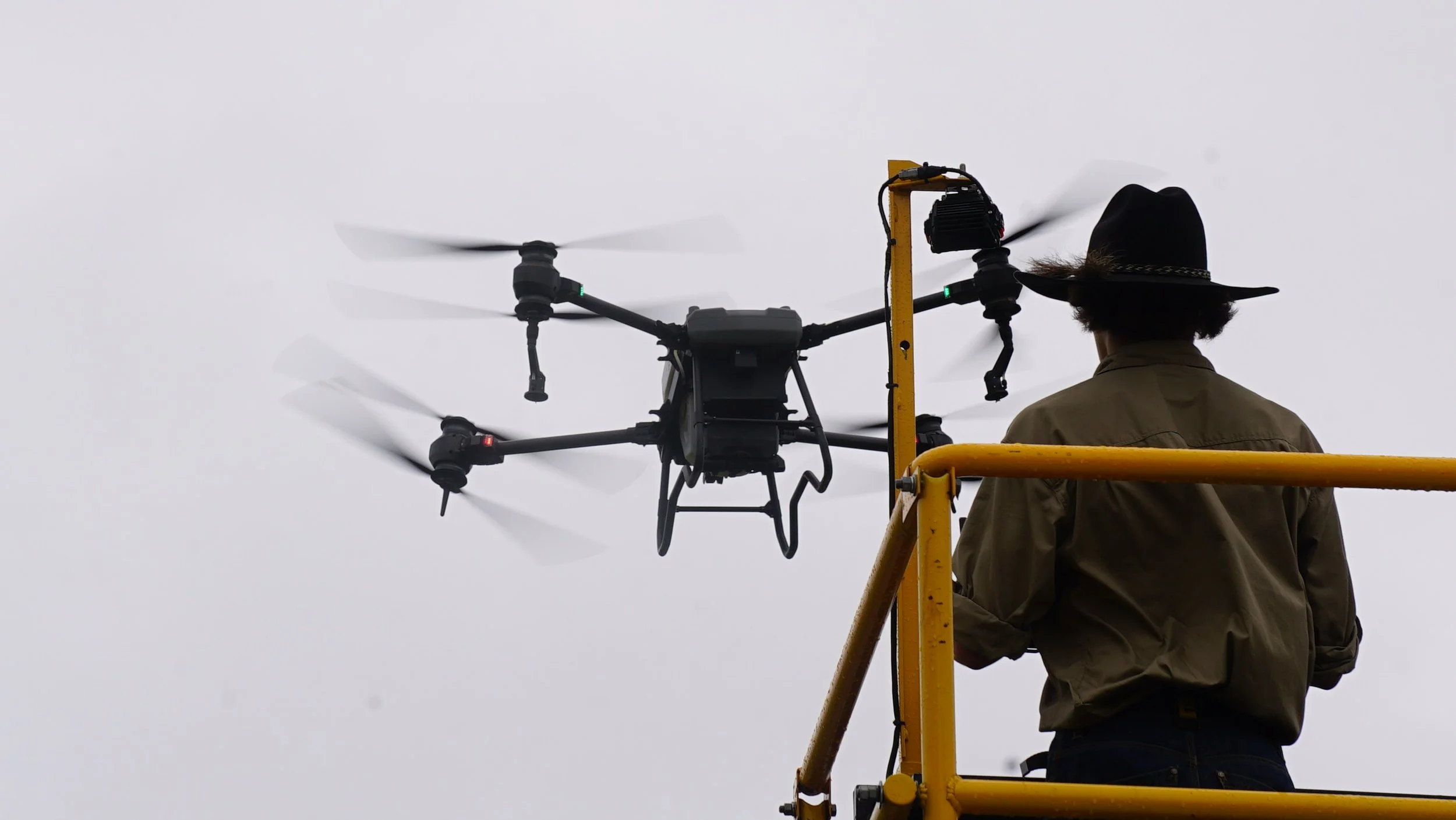
Employing data driven solutions, Pragdro aerial solutions delivers high resolution, multispectral data collection to assess crop health, vegetation, vigour, etc. These insights support informed decision-making for agriculture, environmental management, and land monitoring by identifying stress, variability, and change early.
Infrastructure and Asset Inspections
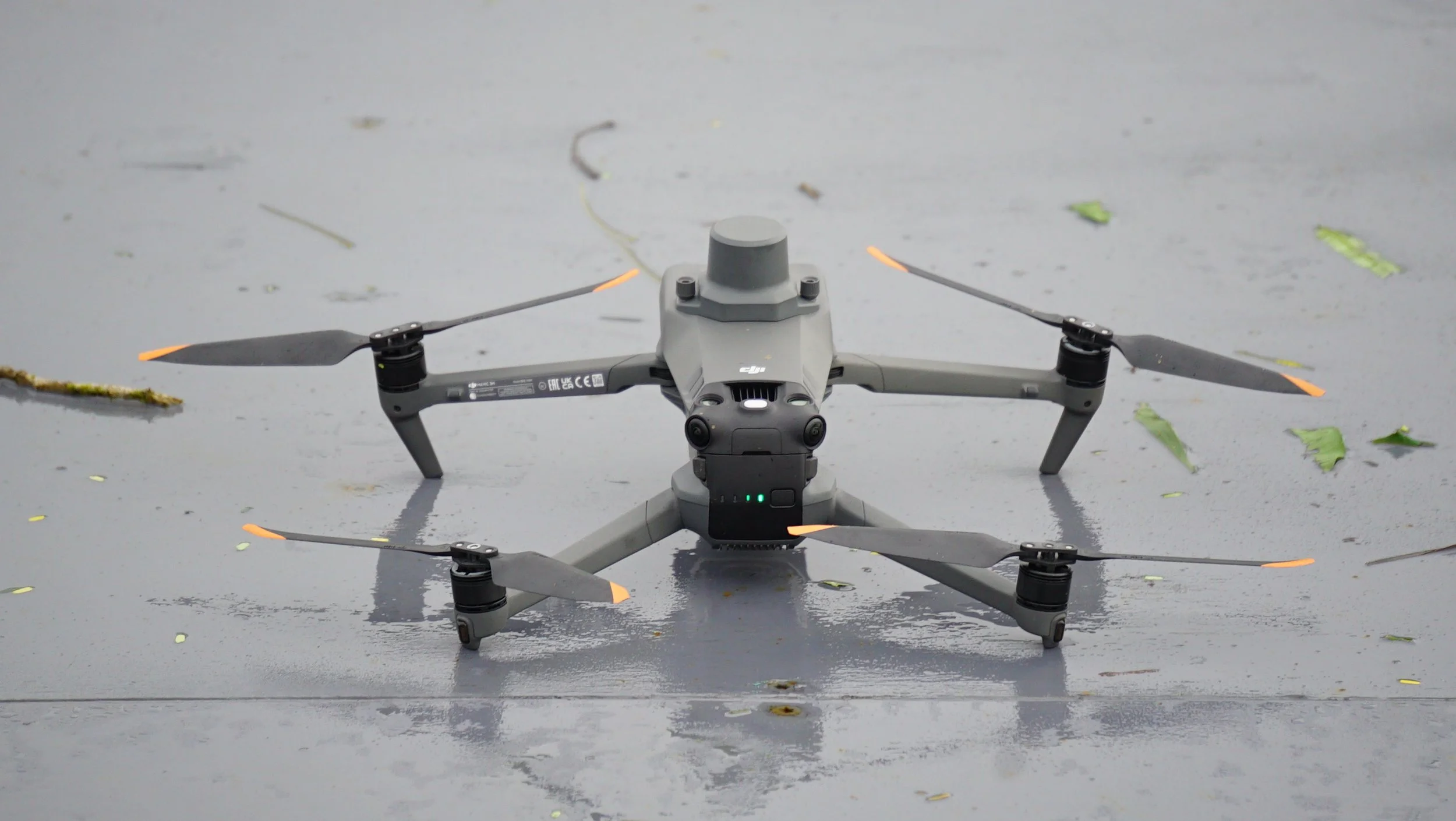
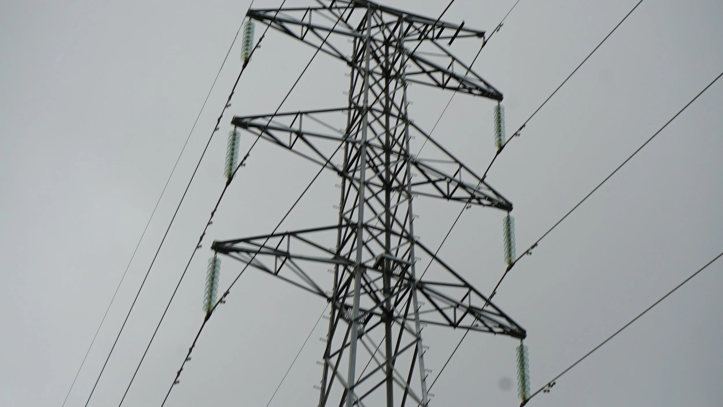
We provide detailed aerial inspections of infrastructure and assets, enabling safe, efficient assessment of condition, defects, and degradation. Our UAV-based approach reduces risk, minimises downtime, and delivers actionable visual data for maintenance planning and compliance.
Aerial Application Solutions
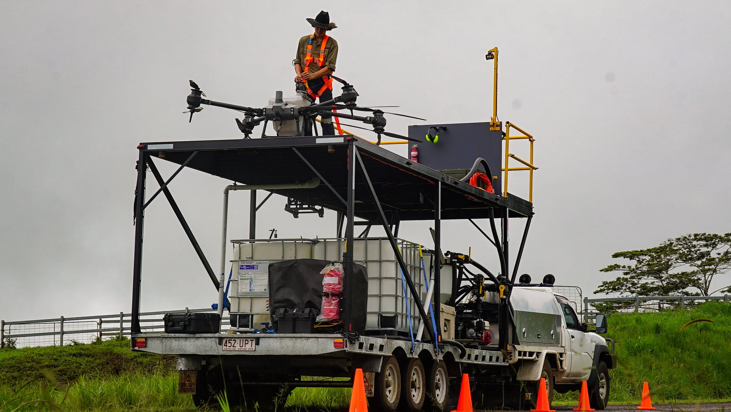
Pragdro aerial solutions provides precise aerial application services for crops and pastures, waterways, etc. Our UAV operations improve application accuracy, reduce waste, and enable treatment of difficult or sensitive areas with minimal ground disturbance.
Aerial Logistical Solutions
We provide tailored aerial logistical solutions designed around your mission-specific requirements. Whether supporting remote operations, emergency response, or difficult-to-access locations, our team works with you to develop a practical solution.

CERTIFICATIONS:
Our professional certifications and compliance credentials:
Company Credentials:
CASA Remote Pilot Operators Certificate ReOC# CASA.ReOC.1634
DAF Chemical Contractors License DAF# 245520
Individual Pilot Credentials:
CASA Remote Pilot License RePL
CASA Aeronautical Radio Operators Certificate AROC
RPA Specific Type ratings
Pilot Chemical Rating License