
Survey Solutions
We employ specialised aerial assets to support survey operations, delivering high accuracy data and actionable insights for agricultural land management and asset inspections.
Aerial Survey Capabilities
Method Overview:
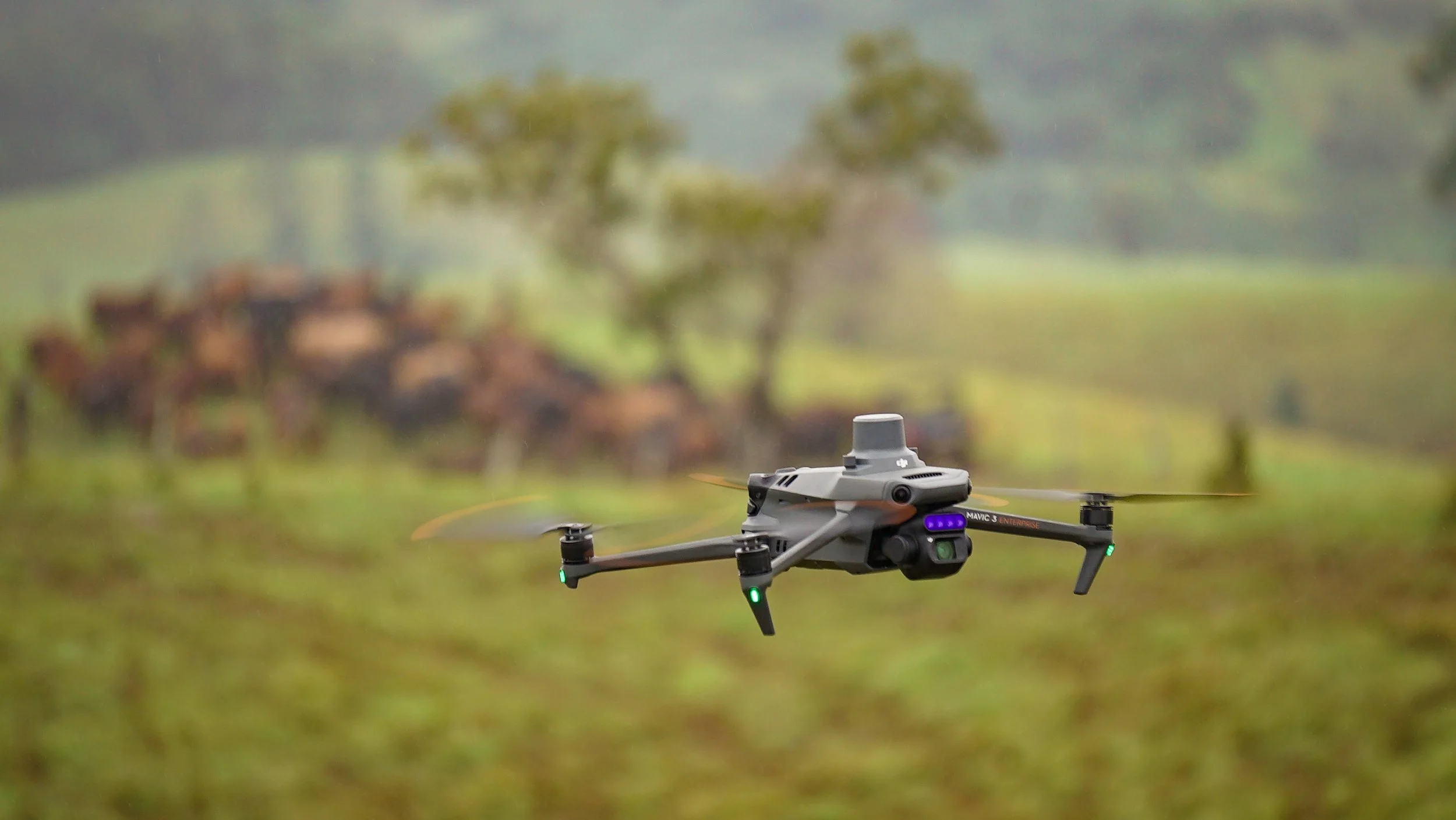
Multispectral surveys provide a method for assessing crop health, enhanced by advanced mapping capabilities. Onboard imaging systems capture data across multiple wavelengths of light and calculate reflectance percentages to evaluate plant condition.
This data can then be compiled into detailed maps, offering actionable insights into various field conditions, including:
- Crop Health & Stress Zones – Highlight areas under nutrient deficiency, drought stress, or disease.
- Vegetation Index Maps (NDVI, etc.) – Show plant vigour and growth patterns.
- Irrigation & Water Management – Identify over- or under-watered areas.
- Weed & Pest Detection – Pinpoint early infestations or invasive species.
- Soil Health & Variability – Map variations in soil composition or fertility.
- Yield Prediction & Planning – Support decisions on fertiliser, spraying, and harvesting.
- Replanting & Recovery Planning – Detect poor-performing areas that may need reseeding or intervention.
For detailed pricing on our multispectral services, please refer to our pricing page
Multispectral Solutions:
Multispectral analysis provides data-driven insights for your farming operations, allowing you to effectively distribute product optimising your yield, saving time and money. Contact us today for more information.
What This Means for You
-
Spot crop stress before it’s visible, allowing targeted action to protect your plants, optimising inputs, and boosting yields helping you save time, reduce costs, and make smarter, data-driven decisions for healthier, more productive fields.
-
With multispectral imagery, you can manage your crops with precision, applying fertilizers, water, and pesticides exactly where they’re needed. This not only maximizes efficiency and reduces waste but also improves crop health, boosts yields, and lowers overall operational costs, helping you get the most from every hectare.
-
With multispectral imagery, you can accurately monitor crop growth and health throughout the season, giving you reliable insights to forecast yields and plan harvests. This allows you to make informed decisions, optimise resource allocation, and reduce the risk of unexpected losses, helping you maximise productivity and profitability across your entire operation.
-
By analysing your crops with advanced imaging, you can use resources more effectively, applying water, fertilizers, and chemicals only where they’re needed. This reduces waste, lowers costs, and minimises environmental impact, helping you run a more sustainable, efficient, and profitable operation.
-
By analysing trends over time using multispectral imagery and other precision agriculture data, growers can identify patterns in crop performance, plant health, and field variability across multiple seasons. These insights support more informed, data-driven decisions and help refine management strategies for future seasons. The result is improved resource efficiency, stronger productivity, and greater long-term profitability.
-
By identifying emerging issues early through precision data, you can reduce operational risk and respond before problems escalate. We understand your crops are central to your operation, and timely, informed decisions help protect plant health, stabilise yields, and improve resilience against pests, disease, and environmental stress.
-
With the addition of advanced imaging data, you can create a connected end-to-end view of your operation enabling the following data integrations:
Data transfer to John Deere® application platforms with inbuilt or aftermarket autosteer capabilities and/or variable rate application systems or GPS guided machinery
Farm management and record-keeping platforms
Yield monitors and historical production data
Agronomic analysis and reporting software
Infrastructure & Asset Inspections:
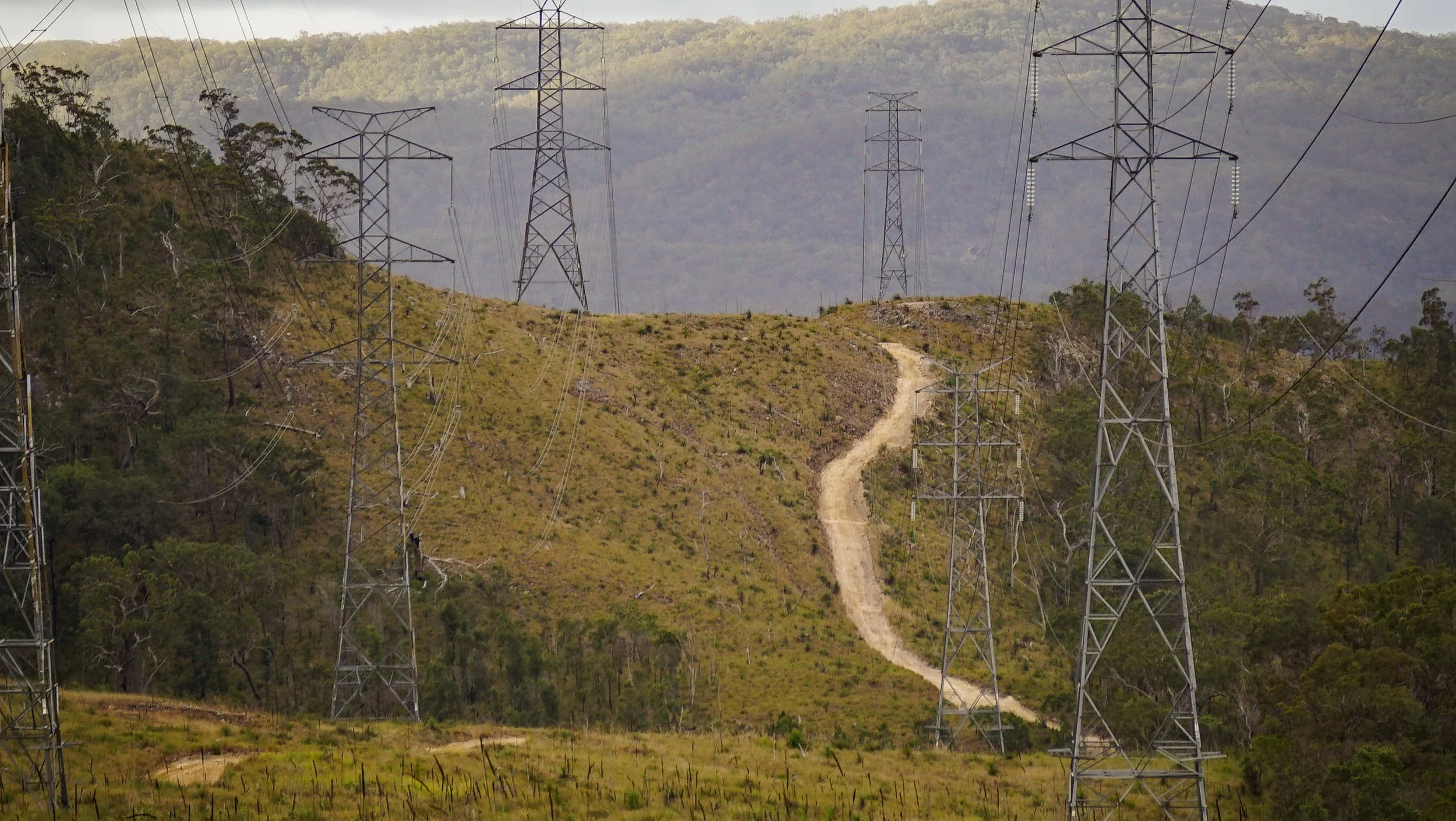
We provide professional asset inspection services that prioritise safety, efficiency, and actionable results, supporting asset owners by delivering detailed visual and analytical data without interrupting operations or exposing personnel to unnecessary risk. Detailed high-resolution imagery is provided via our aerial platforms allowing possible faults to be identified and addressed early without the need for scaffolding, elevated work platforms, or manual access. For additional details or to discuss your requirements, please contact us via the links below.
Common Infrastructure & Asset Inspection Applications:
Asset inspections are used across a wide range of industries to assess condition, identify defects, verify compliance, and support maintenance planning. Common applications include:
Irrigation Systems (pivots, pumps, channels)
Water pipelines and reservoirs
Drainage systems
Fencing and boundary infrastructure
Sheds and warehouses
Flood, storm, and cyclone impact assessments
Costal Erosion Monitoring
Roads and crossings
Energy Inspections (Powerlines, poles, distribution transformers, etc.)
Solar farms
Building roofs and structural elements
Other remote or difficult to access assets
Estimations:
We provide accurate, data-driven estimations to support planning, budgeting, and decision-making across a range of projects and assets. This approach reduces uncertainty, improves project control, and supports efficient resource allocation from early planning through to completion. Applications include:
Earthworks
Stockpile and material volume measurements
Construction Progress tracking
Agricultural bulk storage and commodity estimation
Drainage channel and embankment volume calculations
Pre and post works comparisons